Empowering Businesses with Secure, Scalable, & Customized Technical Solutions.

Our Story
Born at the intersection of innovation and integration, Nugeo Solutions was founded with a singular vision: to make complex digital ecosystems simple, seamless, and strategic. In a world where technology often overwhelms, Nugeo steps in as the translator—bridging the gap between infrastructure and insight, between systems and stories.
What sets Nugeo apart isn’t just technical expertise—it’s the ability to speak the language of both engineers and executives, crafting solutions that resonate across industries and audiences. Nugeo delivers clarity, reliability, and impact.
Solutions

Modern & Responsive Web Applications
Modern web applications offer cross-device accessibility and high customization to create tailored solutions for diverse user and business needs.

Native/Hybrid Mobile Applications
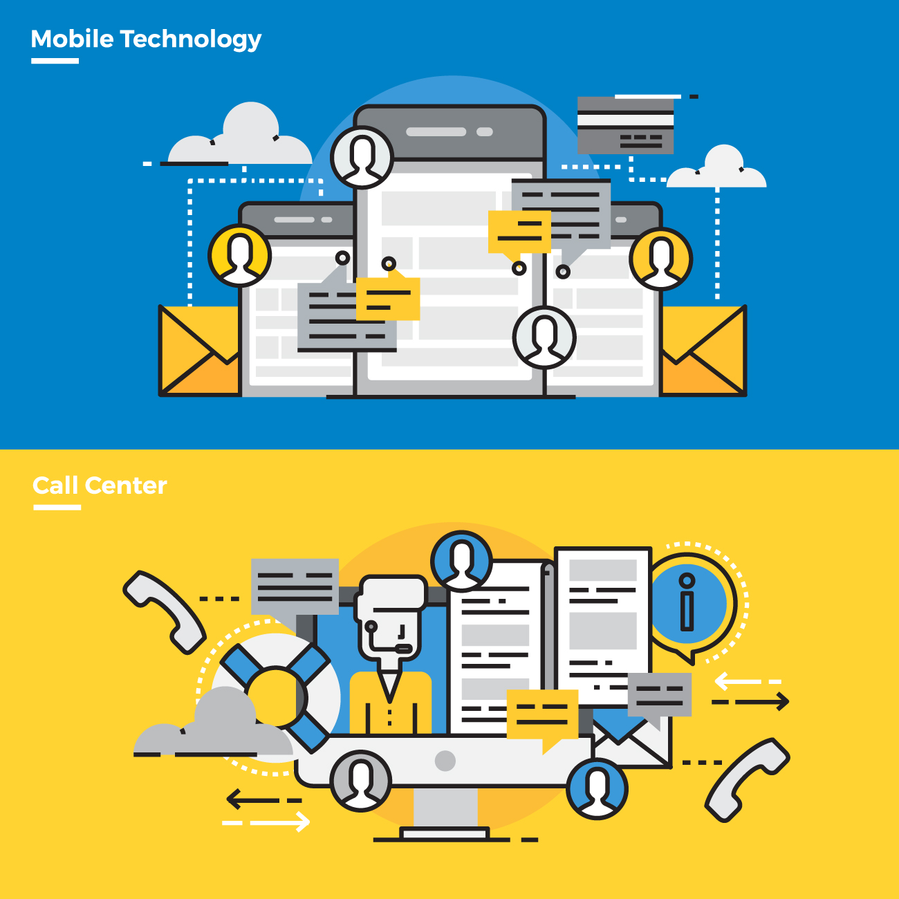
Mobile apps built with native, or hybrid technologies deliver optimal performance, seamless user experience, and compatibility across smartphones and tablets.

Network Infrastructure
Scalable networking solutions ensure secure, seamless operations with high reliability for efficient connectivity across diverse environments and systems.

Integrated Hardware & Software Solutions
Robust systems tailored to client needs, covering the entire process from procurement through deployment for seamless operational integration.

Modern Communication Systems
PABX and VoIP technologies improve communication efficiency with scalable, streamlined solutions for both internal and external connectivity.

Geospatial Solutions
Geospatial tools enable data collection, analysis, and visualization from GPS, remote sensing, and GIS, with custom solutions tailored to specific needs.
